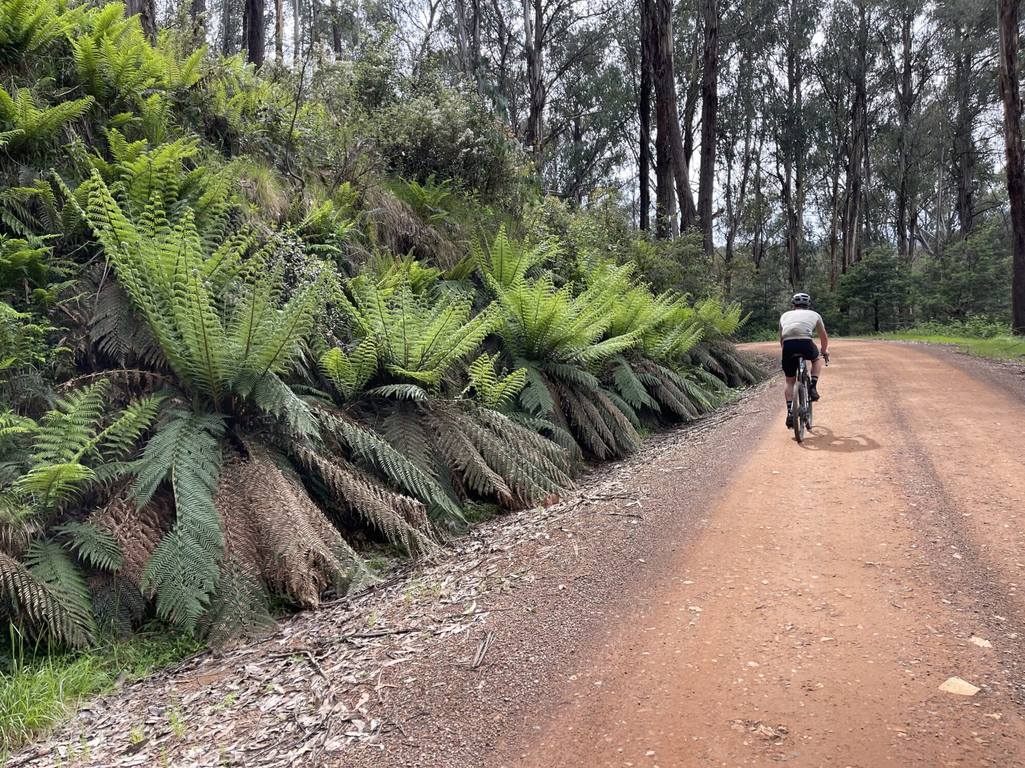
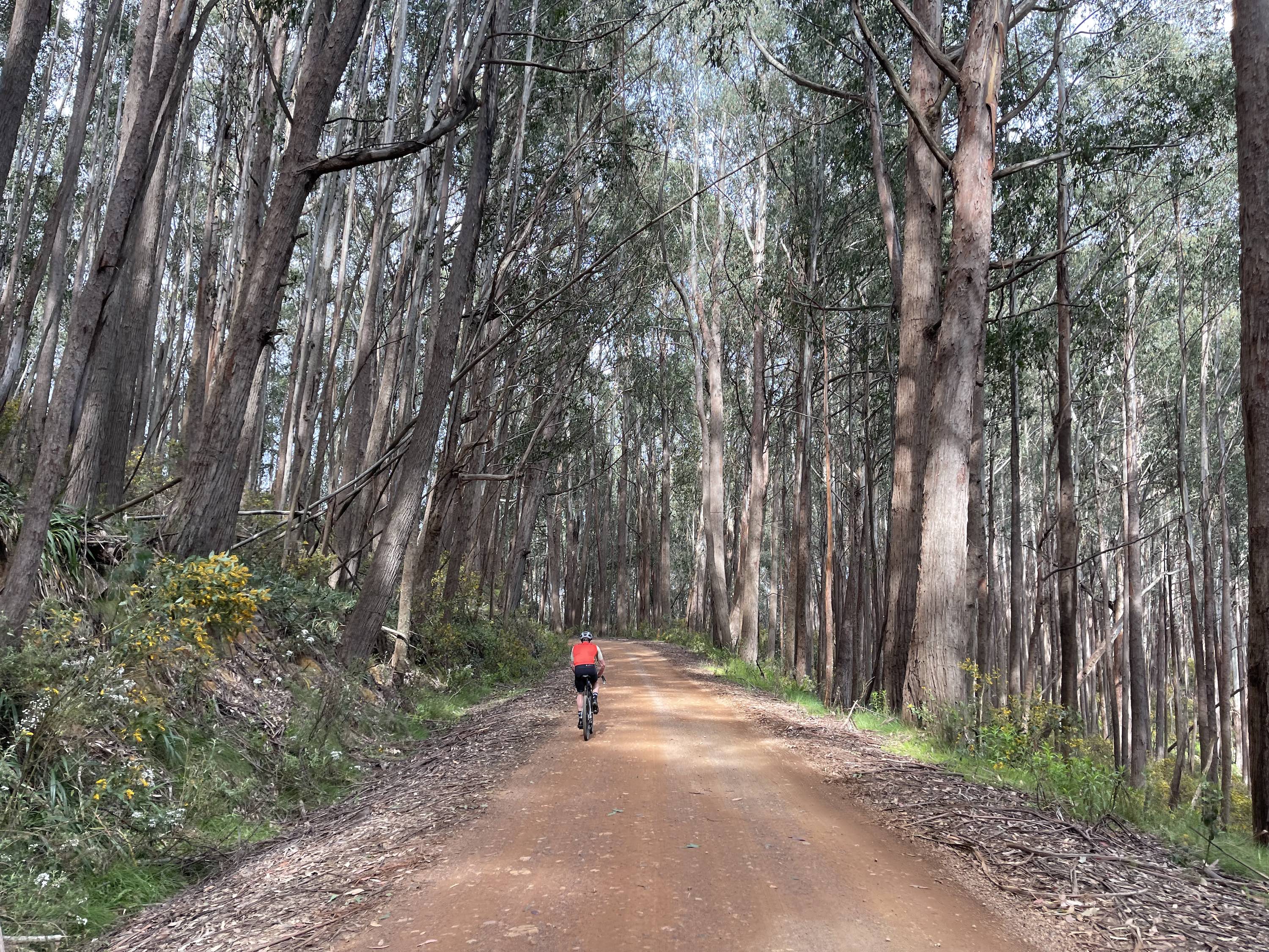
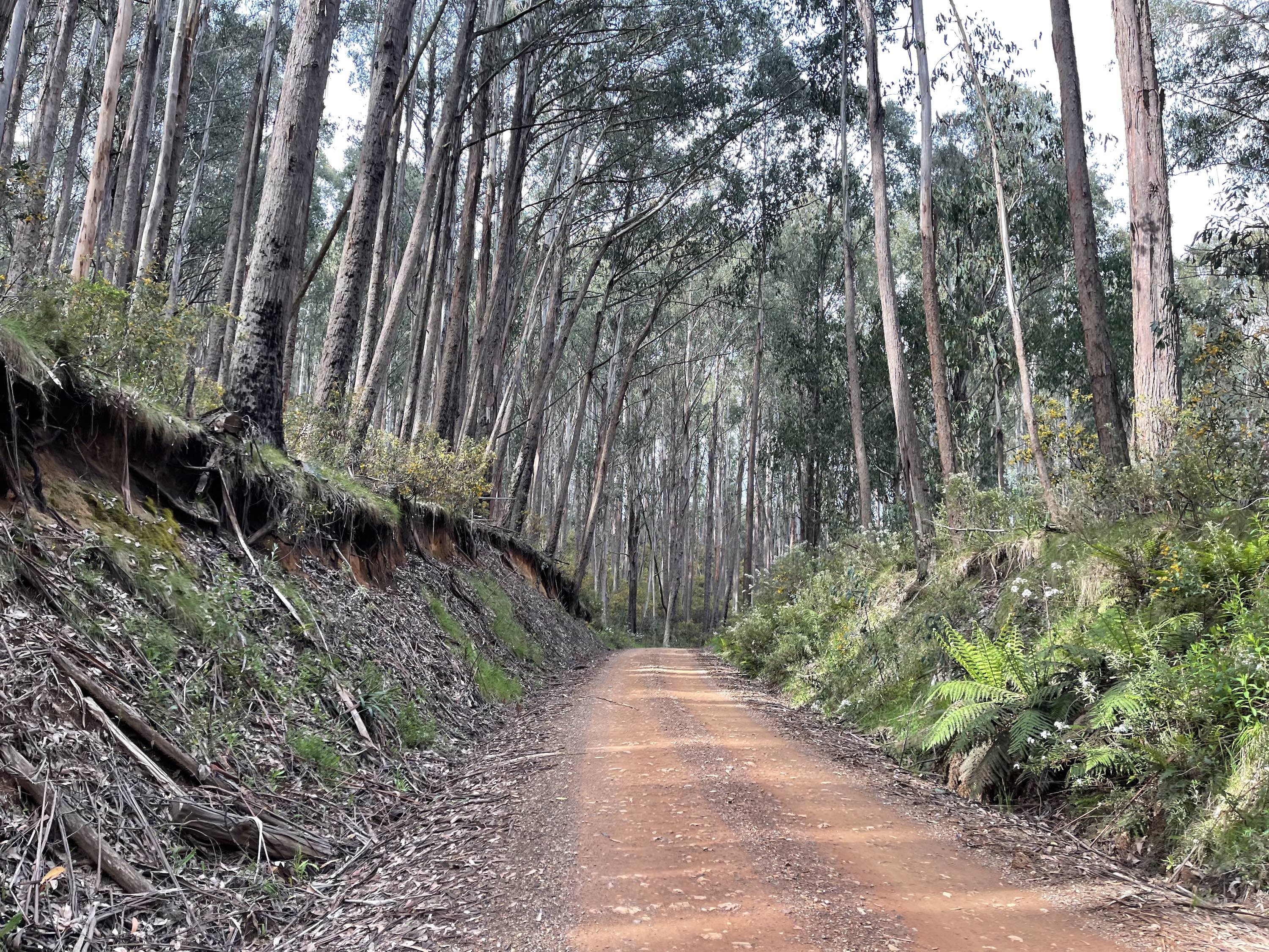
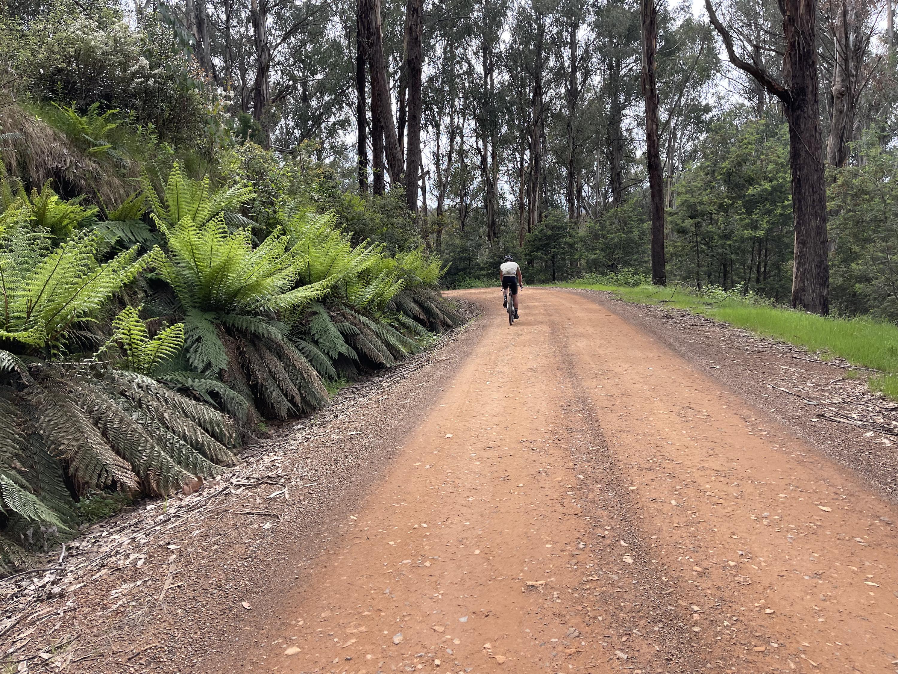
Starting and ending at Telephone Box Junction, this is a classic gravel cycling route known for its smooth, flowing surface and climbing with moderate gradients rarely exceeding 5%. Roll past giant tree ferns and cattlemen's huts, and embrace the long way around with detour options to Craig's Hut (3km return) and Bindaree Falls (10km return). Signage along the route is excellent, with numerous huts and information kiosks providing great spots for riders to take a breather.
Start location - Telephone Box Junction, Mt Stirling
Finish location - Telephone Box Junction, Mt Stirling
Route distance - 47.8km
Elevation gain - 1,193m
Water - Telephone Box Junction, Mt Stirling
Toilets - Telephone Box Junction, Howqua Gap, Razorback Hut & King Saddle Day Shelter
Note - Always check the weather forecast before heading out for a ride in Victoria's alps. This route is only open in the Green season from November to early May. Cyclists must remain vigilant for traffic, particularly during holidays and weekends, when the road can be busier.
Looking for more unforgettable gravel rides? Click here to check out the full Ride High Country gravel network.


