Made in Mansfield Inc.
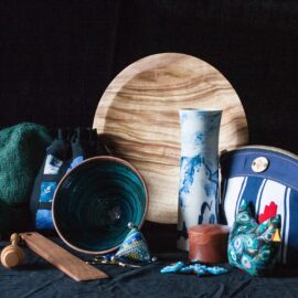
An ever-changing array of quality art and craft and gift cards. Including textiles, glass, woodwork, ceramics and sculptural work all produced by local artisans. Made In Mansfield Inc. (MIM Inc.) was established in 1995 by a group of like-minded, locally-based artists and craftspeople to create a retail outlet to promote, exhibit and sell their work.…
Read MoreMansfield Hunting and Fishing
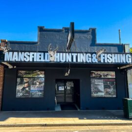
For all the expert advice and top of the line gear, head to Mansfield Hunting and Fishing for all things hunting, fishing and anything outdoors. Australian owned and family-run, this business is located in the heart of the High Country surrounded by some of the best deer hunting areas, and pristine lakes and rivers. Stockists…
Read MoreBlue Range Camping and Picnic Area
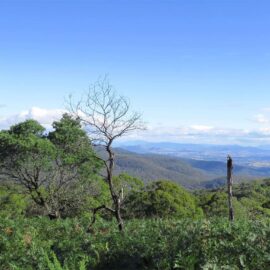
Blue Range Camping and Picnic Area offers a small, basic campsite on Blue Range Creek, 20 minutes north of Mansfield via Mansfield – Whitfield Road. Gravel road access. The campsite is on the edge of Mt Samaria State Park, in a quiet location near a small creek and in natural bushland. Toilet facilities are across…
Read MoreMt Stirling Alpine Resort
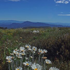
Mt Stirling Alpine Resort is the only Victorian alpine resort with a largely undeveloped and unspoilt true alpine summit, offering a readily accessible semi-wilderness experience for visitors. This fact, combined with the resort’s wealth and diversity of environmental characteristics and its close proximity to Melbourne, only 230 kilometres, makes Mt Stirling unique in the Australian…
Read MoreMt Buller Alpine Resort
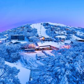
Mt Buller is Australia’s most accessible snow resort and is an easy three-hour drive from Melbourne’s Tullamarine Airport. With 21 lifts, Mt Buller has the largest lift network in Victoria. The resort features a world-class Ski and Snowboard School, three terrain parks designed for all skill levels, two toboggan parks and a beautiful alpine village…
Read MoreCarter’s Mill Picnic and Camping Area
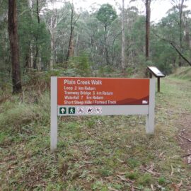
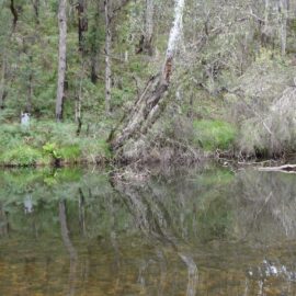
Carter’s Mill Picnic and Camping Area is less than 30 minutes from Mansfield on the way to Mount Buller. The picturesque picnic reserve is by the banks of the Delatite River and is perfect for picnicking and enjoying the outdoors. It is also the start of the walking track up to the Plain Creek Falls…
Read MoreKing Hut Camping Area
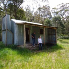
King Hut is located on the western edge of the Alpine National Park, about 15 kilometres north-east of Mt Stirling, alongside the King River. The 4WD access route heads down Speculation Road, which is reached via a turn-off from Circuit Rd about 6 kms south-east of the Craig’s Hut turn-off. There are horse yards here…
Read MorePineapple Flat Camping Area
Pineapple Flat is approximately 10 kilometres north of Mt Stirling in the western reaches of the Alpine National Park. It can be reached via Burnt Top Track down to King Basin Road, or alternatively it can be reached from Circuit Road heading down Speculation Road to King Hut Flat then along King Basin Road, with…
Read MoreWoods Point Petrol Station
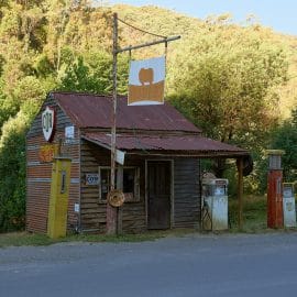
This renowned little fuel stop harks back to Woods Point’s hey-day. The tiny, original timber building was once a functioning petrol station and bore witness to the gold-mining fever of the 19th century. By the mid 1860s there were about 50 functioning mines around Woods Point, plus some 30 hotels, a police station, a hospital,…
Read More
