Bonnie Doon Rail Trail Bridge
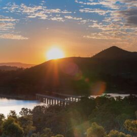
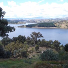
Ride, walk or drive the 385 metre long Bonnie Doon Rail Bridge, providing a great vantage spot to stop and take in the panoramic views of the lake and surrounding hillsides, before arriving at Bonnie Doon’s main street. Pedestrians, cyclists and horseriders use the the former train bridge (running parallel with the traffic bridge) across…
Read MoreJamieson Significant Trees Self Guided Walk
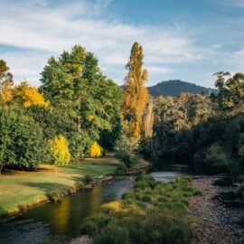
The small picturesque township of Jamieson, approximately 40 kilometres south of Mansfield, features a range of significant trees, many exotic species and many dating back to the 1800s, planted by the early pioneers. Take a self-guided walk around the township and admire the trees selected for their historic or botanic significance, especially beautiful in Autumn.…
Read MoreThe Island at Jamieson
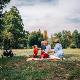
Part of the Jamieson’s Heritage Walk and with trails abounding “The Island” is the perfect spot for a picnic or for a beautiful walk and there is an off leash dog area. It is the place where the Jamieson River meets the Goulburn River, technically known as the “confluence” of rivers. Fruit trees planted in…
Read MoreBracks Bridge
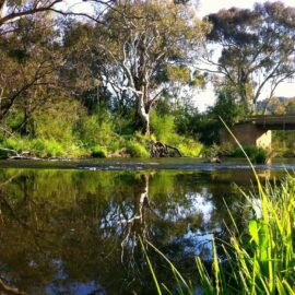
During the warmer months, the shallow waters make this the ideal spot to bring the kids for a splash and a swim. They will love exploring the rocks and pools, or you might like to throw a line in to see if the fish will bite. The grass is regularly mown in summer so it…
Read MoreDelatite Arm Reserve
The Delatite Arm Reserve, also known as ‘The Pines’, is located on the shores of picturesque Lake Eildon near Goughs Bay. There are numerous camping sites located above the high water mark of Lake Eildon. Camping is only permitted within these designated camping areas and is on a first-come, first-served basis. No bookings are required.…
Read MorePicnic Point at Goughs Bay
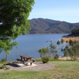
A canvas of blue skies, rolling hills and blue water greet the eye at Picnic Point. A perfect spot to while away the afternoon on the shores of picturesque Lake Eildon. The site has everything you need for a relaxing picnic – shelter, barbecue, toilets and playground. Enjoy the Gough’s Bay lakeside walk with art…
Read MoreHigh Country Gardens, Cafe, Gallery and Maze
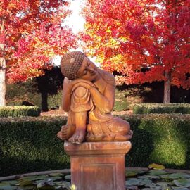
An enchanting world of gorgeous gardens filled with art and magical creatures awaits just 15 minutes from Mansfield. Situated in the Alpine foothills this two-hectare award winning garden blooms with hundreds of roses, carpets of spring bulbs, stunning perennials, and deciduous trees. Their garden café serves Devonshire Teas, and lunch straight from the garden made…
Read MoreThe Paps Lookout
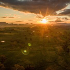
Take a walk to the top of The Paps Lookout and you will be greeted with expansive views of the rolling High Country hills and Lake Eildon. From Mansfield, drive nine kilometres toward Melbourne, where you will see a sign stating ‘The Paps, altitude 700 metres’. The gravel road on the left permits access to…
Read MoreLords Oval
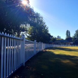
With its white picket fence and manicured green oval, the Lords Reserve has the air of an old English cricket ground – and it is indeed home to the Delatite Cricket Club and the Mansfield Croquet Club. Enjoy a stroll around the oval as you watch local sporting enthusiasts battle it out. In summer, it…
Read More
