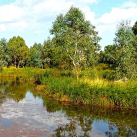
King Hut Camping Area
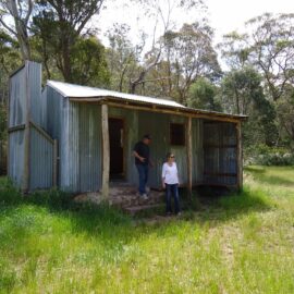
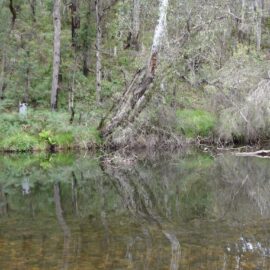
King Hut is located on the western edge of the Alpine National Park, about 15 kilometres north-east of Mt Stirling, alongside the King River. The 4WD access route heads down Speculation Road, which is reached via a turn-off from Circuit Rd about 6 kms south-east of the Craig’s Hut turn-off. There are horse yards here…
Read MorePineapple Flat Camping Area
Pineapple Flat is approximately 10 kilometres north of Mt Stirling in the western reaches of the Alpine National Park. It can be reached via Burnt Top Track down to King Basin Road, or alternatively it can be reached from Circuit Road heading down Speculation Road to King Hut Flat then along King Basin Road, with…
Read MoreThe Island at Jamieson
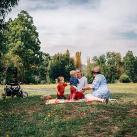
Part of the Jamieson’s Heritage Walk and with trails abounding “The Island” is the perfect spot for a picnic or for a beautiful walk and there is an off leash dog area. It is the place where the Jamieson River meets the Goulburn River, technically known as the “confluence” of rivers. Fruit trees planted in…
Read MoreDelatite Arm Reserve
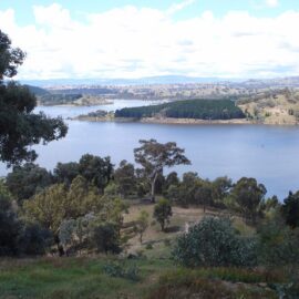
The Delatite Arm Reserve, also known as ‘The Pines’, is located on the shores of picturesque Lake Eildon near Goughs Bay. There are numerous camping sites located above the high water mark of Lake Eildon. Camping is only permitted within these designated camping areas and is on a first-come, first-served basis. No bookings are required.…
Read MoreMount Samaria State Park
Set in tall, shady eucalypt forest, Mount Samaria State Park offers a cool and quiet retreat for beautiful walks, camping and picnicking. The Mount Samaria range incorporates a variety of scenery with spectacular vistas over the Victorian Alps, granite outcrops, high waterfalls and historic remains. Explore the park by foot, mountain bike or scenic drive…
Read MoreBluff Hut
Located in the Alpine National Park, Bluff Hut is the third highest hut in Australia. The original hut, built in the 1950’s, was burnt down in the 2007 fires and has since been rebuilt. Bluff Hut offers basic camping for car-based campers and hikers. From the hut it is a short walk to the Bluff,…
Read MoreHowqua Hills Historic Area
Howqua Hills Historic Area is a site of natural beauty. Set in a secluded valley on the Howqua River it was once busy with gold miners. River flats are surrounded by hills with Manna Gums and Narrow‐Leaved Peppermints. Howqua Hills Historic Area is approximately one-hour drive from Mansfield and is a popular spot for picnics,…
Read MoreButtercup Creek Camping Area
The tumbling water in Buttercup Creek provides a peaceful background sound within these small, shady sites. It offers good access for bushwalking, horse riding, mountain bike riding and four wheel driving. Two wheel drive access is via Carter’s Road off Mt Buller Road. Four wheel drives can use Buttercup Road to access the campsites, involving…
Read MoreMansfield Mullum Wetlands Walk
This easy 1.5 kilometre walk begins at the start of the Great Victorian Rail Trail adjacent to the Mansfield Visitor Information Centre in the historic “Station Precinct”. The wetlands provide a habitat for native fauna and are a beautiful and accessible example of a living wetlands ecosystem. Check out the water birds from the bird…
Read More
